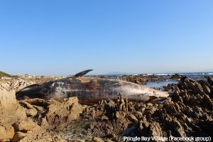
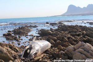
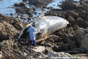
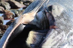
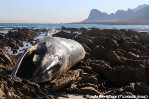
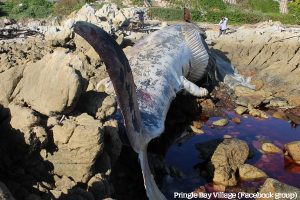
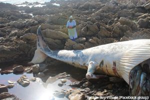
A Blyde Whale washed up on our beach last week. The whale has was too high up on the rocks to be returned to sea. This week will see the removal of the whale.

A lifestyle


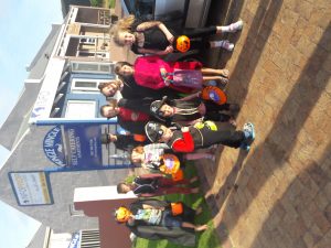
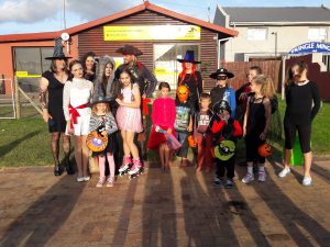
Dates for the 2018 Festival have been announced and will be 27-29 April 2018. The Committee was also elected.
Kevin Poulter – Chairperson
Harriet Joao – Marketing, Sponsorship and Partial Secretary
Alison Evans – Finance
Marius du Plessis – Licencing; Food and Beverages
Shirley Hansen – Exhibitors and Activities
Coby Rossouw – Entertainment
John Charalmbous – Business coordinator
Gavin Udeman– Logistics
The committee can be contacted directly or email: 2018@pringlebayvillage.co.za


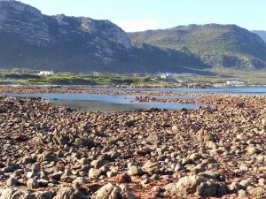
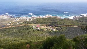
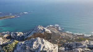
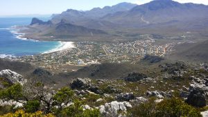
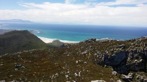
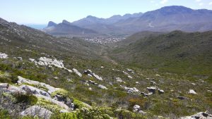
Pringle Bay (Afrikaans: Pringlebaai) is a small coastal town of ca. 1600 inhabitants in the Overberg region of the Western Cape, in South Africa. It is situated at the foot of Hangklip, on the opposite side of False Bay from Cape Point. The town and surrounds are part of the Kogelberg Biosphere Reserve, a UNESCO Heritage Site. The bay is named after Rear-Admiral Thomas Pringle, of the Royal Navy, who commanded the naval station at the Cape in the late 1790s.
Situated between Betty’s Bay and Gordon’s Bay, many of the houses in the small community are only used as holiday houses by their owners. It is accessed by the R44, which connects it to the N2.
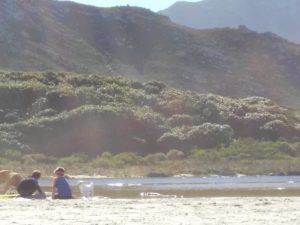
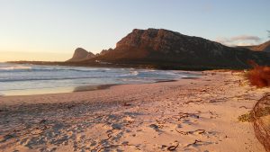
The beach is exposed to the wind, and frequently empty. The town is safe, and family friendly and is home to a number of restaurants and curio shops which serve locals, holiday-makers and passers-by.
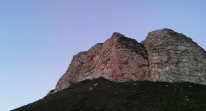
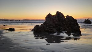
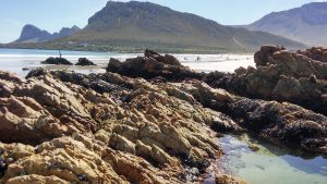
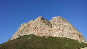


Pringle Bay, named after Rear Admiral Thomas Pringle in 1797, is famous for its rocky shores and the cave, “Drostersgat”, which was used by prisoners and runaway slaves as a hide-away in the 18th century.
During the 1930′s land in the Hangklip area between the Palmiet River and the Rooiels River was acquired by three business partners, Harold Porter, Arthur Youldon and Jack Clarence. They called it the Hangklip Beach Estates and divided the area into three townships, namely Betty’s Bay, Pringle Bay and Rooiels and sold off plots to interested parties. Until the Second World War, when the coastal road from Gordon’s Bay (named Clarence Drive after Jack Clarence) was built to service the radar stations at Stony Point and at Hangklip, this area had been accessed via Sir Lowry’s Pass and Kleinmond with a pontoon crossing the Palmiet River.
Pringle Bay was also influenced by the Second World War. A radar station was first built in 1942 and used to monitor shipping. There were two radar screens, one called Hangklip, behind the Hangklip Hotel and the other one was called Silversands, looking out over the later lighthouse site. Silversands radar station was ‘manned’ by women and the Hangklip Hotel was built as barracks for the technicians and watchers.